No CrossRef data available.

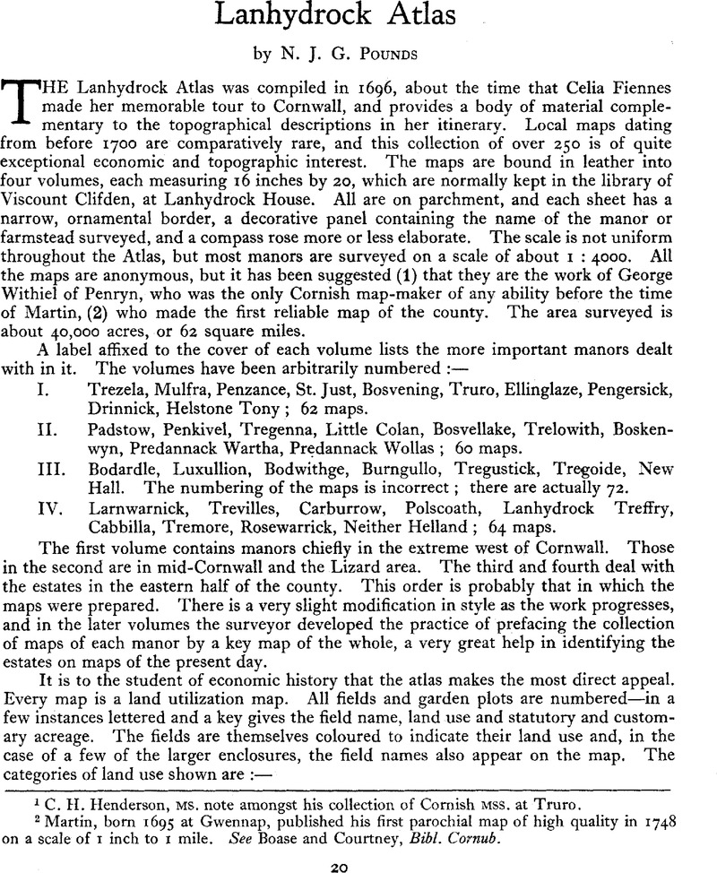
1 C. H. Henderson, MS. note amongst his collection of Cornish MSS. at Truro.
2 Martin, born 1695 at Gwennap, published his first parochial map of high quality in 1748 on a scale of 1 inch to 1 mile. See Boase and Courtney, Bibl. Cornub.
3 See H. L. Gray, English Field Systems, ch. v.
4 J. Norden, Surveyor’s Dialogue, 1608, in Harrison’s Description of England (1881), III.
5 R. Carew, Survey of Cornwall (1602), 19.
6 C. S. and C. S. Orwin, The Open Fields, 62, and A. L. Rowse, Tudor Cornwall, 33-4.
7 See deeds in Henderson MSS. at Truro ; and Topographer and Genealogist, I, 226, quoting Harl. MS. 71.
8 H. L. Gray, English Field Systems, 412.
9 There is a note that 3 of the 5 acres produced alder. Alder trees appear to have been more highly prized then than now (See Feet of Fines, 108, no. 203), and were very probably used for the making of sabots.
10 Original Letters, V/118-24. The letter books are preserved in the Morrab Library, Penzance.
11 ibid. V/60.
12 ibid, V/102-7.
13 ibid. V/69.
14 W. G. Hoskins, Industry, Trade and People of Exeter, p. 29, gives a map of the Cornish spinning area.
15 See Geography, 1943, XXVIII, 37.
16 See N. J, G. Pounds, ‘Pillas, an Extinct Grain’, Devon and Cornwall Notes and Queries, 1944, XXII, 199.
17 See Feet of Fines, 69, no. 138, and G. Oliver, Monasticon Dioecesis Exoniensis (1846), 42b.