Hostname: page-component-cd9895bd7-fscjk Total loading time: 0 Render date: 2024-12-26T20:28:53.636Z Has data issue: false hasContentIssue false

Furthering the discussion on ancient mapmaking - RICHARD J. A. TALBERT (ed.), ANCIENT PERSPECTIVES: MAPS AND THEIR PLACE IN MESOPOTAMIA, EGYPT, GREECE & ROME (The Kenneth Nebenzahl, Jr., Lectures in the History of Cartography; The University of Chicago Press 2012). Pp. ix + 264, figs., 9 colour pls. ISBN 978-0-226-78937-8. $65.

Published online by Cambridge University Press:  27 November 2014
A. H. Merrills*
Affiliation:
School of Archaeological Studies, University of Leicester, ahm11@leicester.ac.uk

Abstract

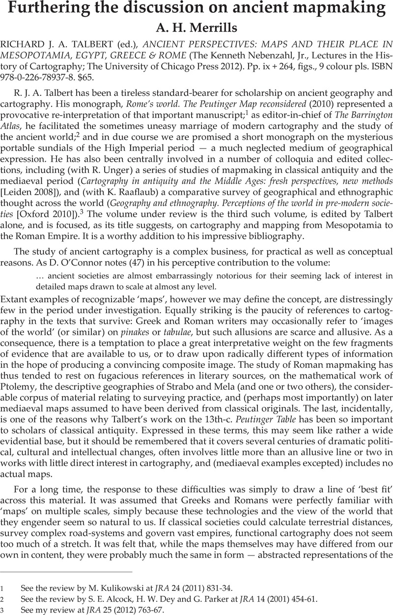
Image of the first page of this content. For PDF version, please use the ‘Save PDF’ preceeding this image.'
Type
Reviews
Copyright
Copyright © Journal of Roman Archaeology L.L.C. 2014

Access options

Get access to the full version of this content by using one of the access options below. (Log in options will check for institutional or personal access. Content may require purchase if you do not have access.)

References

1 See the review by Kulikowski, M. at JRA 24 (2011) 831–34Google Scholar.

2 See the review by Alcock, S. E., Dey, H. W. and Parker, G. at JRA 14 (2001) 454–61Google Scholar.

3 See my review at JRA 25 (2012) 763–67Google Scholar.

4 See, for example, Whittaker, C. R., “Mental maps and frontiers: seeing like a Roman,” in his Rome and its frontiers: the dynamics of empire (London 2004) 6287 CrossRefGoogle Scholar; and Salway, B., “The perception and description of space in Roman itineraries,” in Rathmann, M. (ed.), Wahrnehmung und Erfassung geographischer Räume in der Antike (Mainz 2007) 181209 Google Scholar.

5 See Bowersock, G., “The East-West orientation of Mediterranean studies and the meaning of North and South in antiquity,” in Harris, W. V. (ed.), Rethinking the Mediterranean (Oxford 2005) 167–78Google Scholar.