Hostname: page-component-cd9895bd7-hc48f Total loading time: 0 Render date: 2024-12-26T16:12:06.061Z Has data issue: false hasContentIssue false

Bathymetric charts around the Balleny Islands

Published online by Cambridge University Press:  27 October 2009

J. W. Brodie
Affiliation:
New Zealand Oceanographic Institute, Wellington

Abstract

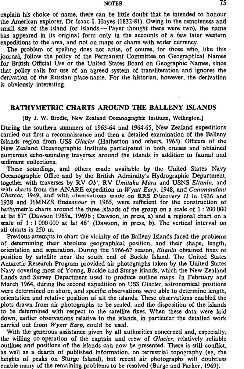
Image of the first page of this content. For PDF version, please use the ‘Save PDF’ preceeding this image.'
Type
Notes
Copyright
Copyright © Cambridge University Press 1970

Access options

Get access to the full version of this content by using one of the access options below. (Log in options will check for institutional or personal access. Content may require purchase if you do not have access.)

References

Burge, W. G. and Parker, D. C. 1969. Infra-red survey in Antarctica: imagery analysis. Report of the Infra-Red Optics Laboratory, Willow Run Laboratories, University of Michigan,1160–9-F.Google Scholar
Dawson, E. W. 1969, a. Young and Borradaile islands, provisional bathymetry, 1:200 000. New Zealand Oceanographic Institute Chart, Island Series.Google Scholar
Dawson, E. W. 1969, b. Buckle Island, provisional bathymetry, 1:200 000. New Zealand Oceanographic Institute Chart, Island Series.Google Scholar
W., Dawson. E. In press, a. Sturge Island, provisional bathymetry, 1:200 000. New Zealand Oceanographic Institute Chart, Island Series.Google Scholar
Dawson, E. W. In press, b. Balleny bathymetry, 1:1 000 000. New Zealand Oceanographic Institute Chart, Oceanic Series.Google Scholar
T., Hatherton., Dawson, E. W. and Kinsky, F. C. 1965. Balleny Islands Reconnaissance Expedition 1964. New Zealand Journal of Geology and Geophysics, Vol 8, No 2, p 164–69.Google Scholar