Book contents
- Frontmatter
- Contents
- Foreword
- Acknowledgments
- Contributors
- 1 Introduction: Approaches to Singapore’s Past before 1819
- 2 Issues and Approaches to Studying Singapore before 1819
- 3 Regional Influences, International Geopolitics and Environmental Factors in the Rise and Demise of Temasek
- 4 The Mysterious Malay Jong and Other Temasek Shipping
- 5 The Orang Laut and the Negara Selat (Realm of the Straits)
- 6 Avoidance of Shipwreck in the Malay Annals: A Trope in Buddhist Narratives of Maritime Crossings
- 7 The Inception of Lion City
- 8 A Note on Amoghapāśa-Lokeśvara in Singapura
- 9 Portuguese and Dutch Records for Singapore before 1819: An Overview
- 10 Zheng He’s Navigation Methods and His Visit to Longyamen, Singapore
- Bibliography
- Index
10 - Zheng He’s Navigation Methods and His Visit to Longyamen, Singapore
Published online by Cambridge University Press: 09 October 2021
- Frontmatter
- Contents
- Foreword
- Acknowledgments
- Contributors
- 1 Introduction: Approaches to Singapore’s Past before 1819
- 2 Issues and Approaches to Studying Singapore before 1819
- 3 Regional Influences, International Geopolitics and Environmental Factors in the Rise and Demise of Temasek
- 4 The Mysterious Malay Jong and Other Temasek Shipping
- 5 The Orang Laut and the Negara Selat (Realm of the Straits)
- 6 Avoidance of Shipwreck in the Malay Annals: A Trope in Buddhist Narratives of Maritime Crossings
- 7 The Inception of Lion City
- 8 A Note on Amoghapāśa-Lokeśvara in Singapura
- 9 Portuguese and Dutch Records for Singapore before 1819: An Overview
- 10 Zheng He’s Navigation Methods and His Visit to Longyamen, Singapore
- Bibliography
- Index
Summary
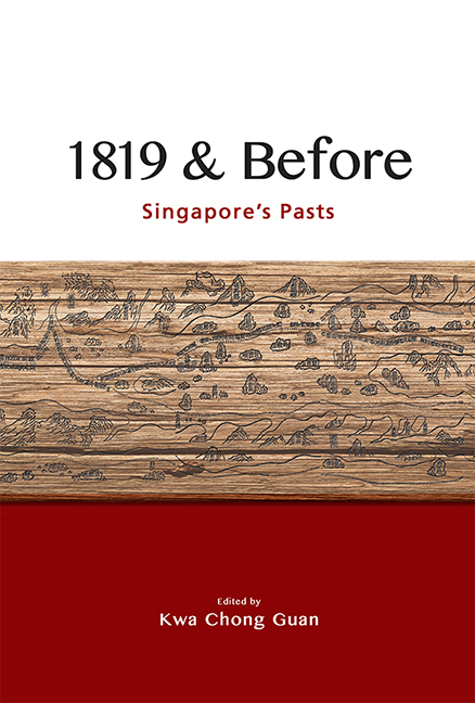
At the ISEAS – Yusof Ishak Institute, visitors are greeted by a large wooden engraved navigation chart of Zheng He's voyages displayed on the wall along the corridor, near the front entrance. George Phillips (1836–96), the British Consul at Fuzhou, in Fujian province, published a paper on this navigational chart he found in the book Wu-pei-pi-shu《武备秘书》. He named it Ching Ho's Chart, while J.V.G. Mills called it the Mao Kun Map. The map contains four pages of stellar diagrams and thirty-four places with stellar altitudes, all in India or kingdoms west of India. The Ching Ho Chart/Mao Kun Map is thought to be the earliest Chinese map that depicts Southern Asia, Persia, Arabia and East Africa in an adequate manner, and is particularly important to Singapore as it mentions Danmaxi (Temasek).
How was the map used for navigation? One method to determine the distance a person is standing away from you (commonly used by men who have undergone national service in Singapore) is to stretch out the arm and point the thumb upwards to measure the height of the person. If the person appears about the height of a thumb nail, the distance is approximately a hundred metres. Celestial navigation uses the same principle but measures the stellar altitudes in order to determine location. For example, in order to find the latitude of a position in the Northern Hemisphere, the higher the North Star (Polaris) appears from the horizon, the higher the latitude.
The Stellar Diagram No. 1 (fig. 10.1) depicts the route from Deogarh in India to Hormuz in Persia. In the introduction to Stellar Diagram No. 1 it says:
Directions for crossing the ocean.
You see the Pei ch’en star [Polaris] is 11 fingers [high, 17° 40´], and the Teng lung ku [Crux] is 4.5 fingers [high, 7° 13´].
You see, on the east side, the Chih nü star [Lyra] is 7 fingers [high, 11° 14´]; [this measurement] serves as a base.
You see in the southwest the Pu ssu stars [Fomalhaut?] are 9 fingers [high, 14° 27´], and you see in the northwest the Pu ssu stars [Beta of Pegasus?] are 11 fingers [high, 17° 40´].
- Type
- Chapter
- Information
- 1819 & BeforeSingapore's Pasts, pp. 101 - 114Publisher: ISEAS–Yusof Ishak InstitutePrint publication year: 2021

