Hostname: page-component-745bb68f8f-s22k5 Total loading time: 0 Render date: 2025-01-13T21:35:03.891Z Has data issue: false hasContentIssue false

A Beginner's Guide to Mesoscale Survey with Quadrotor-UAV Systems – CORRIGENDUM

Published online by Cambridge University Press:  11 February 2019

Rights & Permissions [Opens in a new window]

Abstract

Type
Corrigendum
Copyright
Copyright 2019 © Society for American Archaeology 

Figure 6 in this article (Olson and Rouse Reference Olson and Rouse2018) showed an inaccurate scale in parts a and d. The corrected Figure 6 is shown below.
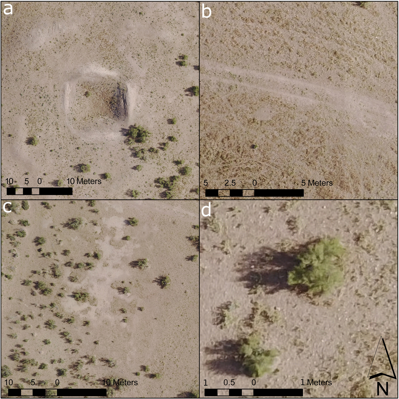
FIGURE 6. Details of topographic features identified in the models: (a) old excavation trenches and backfill, (b) tire tracks and livestock paths, (c) distinction between bare clay ground surface (takyr) and sand cover, and (d) individual bushes.

References

REFERENCE CITED

Olson, Kyle G., and Rouse, Lynne M. 2018 A Beginner's Guide to Mesoscale Survey with Quadrotor-UAV Systems. Advances in Archaeological Practice 6:357371.Google Scholar
Figure 0

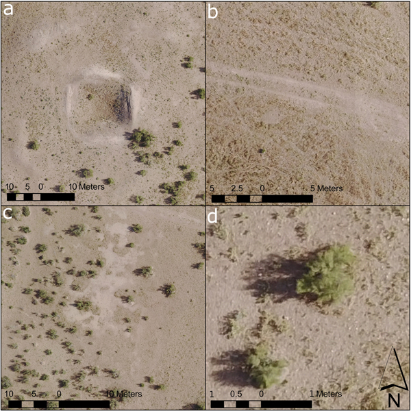
FIGURE 6. Details of topographic features identified in the models: (a) old excavation trenches and backfill, (b) tire tracks and livestock paths, (c) distinction between bare clay ground surface (takyr) and sand cover, and (d) individual bushes.