No CrossRef data available.
Article contents
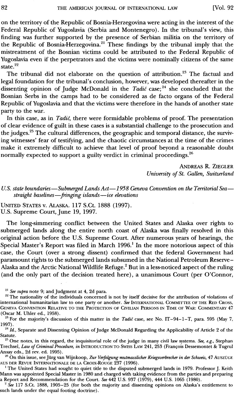
United States v. Alaska. 117 S.Ct. 1888 (1997)
Published online by Cambridge University Press: 27 February 2017
Abstract

- Type
- International Decisions
- Information
- Copyright
- Copyright © American Society of International Law 1998
References
1 The United States had sought to quiet tide to the disputed submerged lands in 1979. Professor J. Keith Mann was appointed Special Master in 1980 and charged witfi taking evidence from the parties and preparing a Report and Recommendation for the Court. See442 U.S. 937 (1979), 444 U.S. 1065 (1980).
2 See 117 S.Ct. 1888, 1905–25 (for both the majority and dissenting opinions on Alaska’s entitlement to such lands under the equal footing doctrine).
3 Pub. L. No. 31, ch. 65, 67 Stat. 29 (1953) (codified at 43 U.S.C. §§1301–1315 (1994)). The Submerged Lands Act modified the Supreme Court’s holding in United States v. California, 332 U.S. 19 (1947).
4 See43 U.S.C. §§1301(a)(2), 1311(a).
5 Id. §1301 (c).
6 Apr. 29, 1958, 15 UST 1606, 516 UNTS 205 [hereinafter Territorial Sea Convention]. See United States v. California, 381 U.S. 139, 165 (1965); United States v. Louisiana (Louisiana Boundary Case), 394 U.S. 11, 35 (1969); United States v. Maine (Rhode Island and New York Boundary Case), 469 U.S. 504, 513 (1985).
7 See Report of the Special Master, United States v. Alaska, at 19–175, 117 S.Ct. 1888 (U.S. No. 84 Original) [hereinafter Special Master’s Report].
8 See Exceptions of the State of Alaska and Supporting Brief, United States v. Alaska, at 10–13, 117 S.Ct. 1888 (U.S. No. 84 Original). This result was specifically sanctioned under Article 4 of the Territorial Sea Convention, supra note 6, which permits states to use straight baselines “[i]n localities where the coast line is deeply indented and cut into, or if there is a fringe of islands along the coast in its immediate vicinity.” This language was repeated verbatim in the 1982 UN Convention on the Law of the Sea, opened for signature Dec. 10, 1982, Art. 7(1), UN Doc. A/CONF.62/122 (1982), reprinted in United Nations, Official Text of the united nations convention on the Law of the Sea with Annexes and Index, UN Sales No. E.83.V.5 (1983) [hereinafter UN Law of the Sea Convention]. It was largely derived from the World Court’s decision in the Fisheries case (UK v. Nor.), 1951 ICJ Rep. 116 (Dec. 18).
9 See, e.g., Louisiana Boundary Case, 394 U.S. at 73–74 & n.97, 77 & n.104.
10 United States v. Louisiana, 470 U.S. 93 (1985).
11 Id. at 106–07.
12 See 117 S.Ct. at 1896–97.
13 Id. at 1895.
14 See id. at 1898 (quoting Louisiana Boundary Case, 394 U.S. at 74 n.97).
15 See id. This proposal would have made these “objectionable pockets of high seas” into territorial waters (not internal waters) so long as the pockets could be closed off by 4-nautical-mile (not 10-mile) line segments. See Whittemore Boggs, S., Delimitation of the Territorial Sea , 24 AJIL 541, 552–53 (1930)Google Scholar, quoted in 117 S.Ct. at 1897.
16 See 117 S.Ct. at 1898–99; Special Master’s Report, supra note 7, at 83–93, 98–125.
17 117 S.Ct. at 1900.
18 Territorial Sea Convention, supra note 6, Art. 10(1). See also UN Law of the Sea Convention, supra note 8, Art. 121(1). Because Dinkum Sands was located more than 3 miles from land, it would have been no help to Alaska for it to be deemed a low-tide elevation under Article 11 of the 1958 Convention. See 117 S.Ct. at 1900.
19 For the use of this standard, see United States v. California, 382 U.S. 448, 449–50 (1966); Borax Consol., Ltd. v. Los Angeles, 296 U.S. 10, 26–27 (1935).
20 117 S.Ct. at 1900–01, 1903–04. See Special Master’s Report, supra note 7, at 234–87, 310 (describing numerous coastal surveys, joint monitoring projects, and geological samplings of the formation).
21 See 117 S.Ct. at 1901–02 (citing numerous sources).
22 Id. at 1902. Alaska had argued that Dinkum Sands was as permanent a feature as the alluvial islands and floating “mudlumps” of the Mississippi Delta. As early as Sir William Scott’s 1805 prize decision in The Anna, these features had been recognized as islands for purposes of drawing the baselines of a territorial sea. 2 C. Rob. 373, 385c-e, 165 Eng. Rep. 809, 815 (Adm. 1805) (a vessel taken within 3 miles of a mudlump in the Mississippi River Delta was within U.S. neutral territorial waters and the prize was invalid). But the Court noted that the precedent of The Anna predated the 1958 Convention and thus was no help in interpreting Article 10(1). Indeed, the Court noted that it was not entirely clear whether these mudlumps would be treated today as islands or as low-tide elevations under the Convention. 117 S.Ct. at 1902–03.
23 117 S.Ct. at 1904–05 (citing United States v. Louisiana (Texas Boundary Case), 394 U.S. 1, 5 (1969); Louisiana Boundary Case, 394 U.S. 11, 32–34 (1969)).
24 Id.
25 Id.
26 Id. at 1897.
27 Id. at 1898.
28 See id. at 1898–99.
29 North Sea Continental Shelf (FRG v. Den.; FRG v. Neth.), 1969 ICJ Rep. 3 (Feb. 20) (rejecting as customary international law the strict equidistance rule of continental shelf delimitation).


