No CrossRef data available.
Article contents
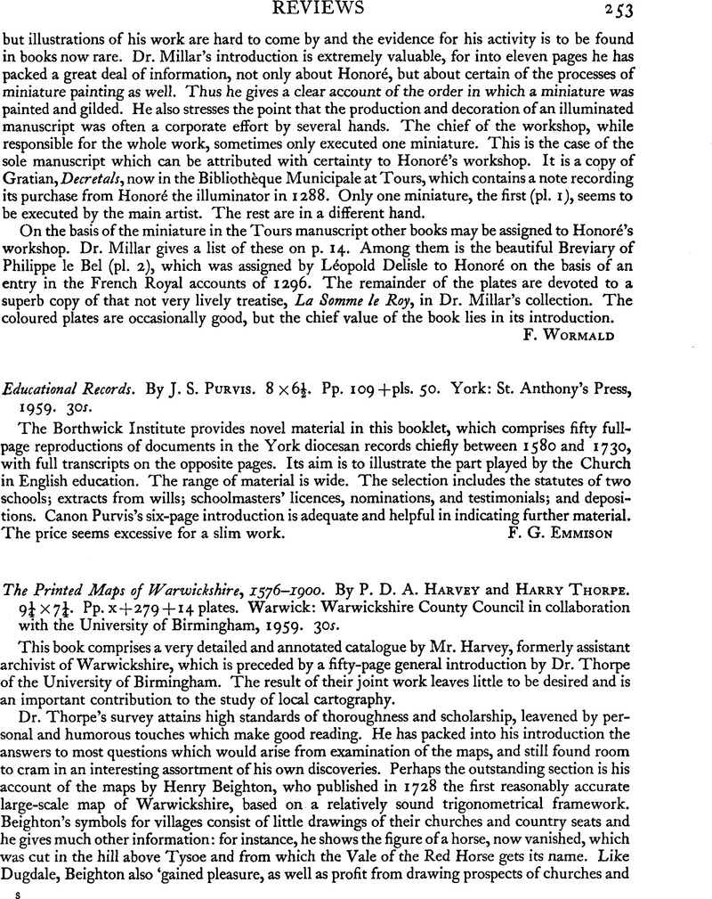
Educational Records. By J. S. Purvis. 8 × 6½. Pp. 109 + pls. 50. York: St. Anthony's Press, 1959. 30s. - The Printed Maps of Warwickshire, 1576-1900. By P. D. A. Harvey and Harry Thorpe. 9¼ × 7¼ Pp. x + 279 + 14 plates. Warwick: Warwickshire County Council in collaboration with the University of Birmingham, 1959. 30s.
Published online by Cambridge University Press: 29 November 2011
Abstract
An abstract is not available for this content so a preview has been provided. Please use the Get access link above for information on how to access this content.

- Type
- Reviews
- Information
- Copyright
- Copyright © The Society of Antiquaries of London 1960


