Article contents
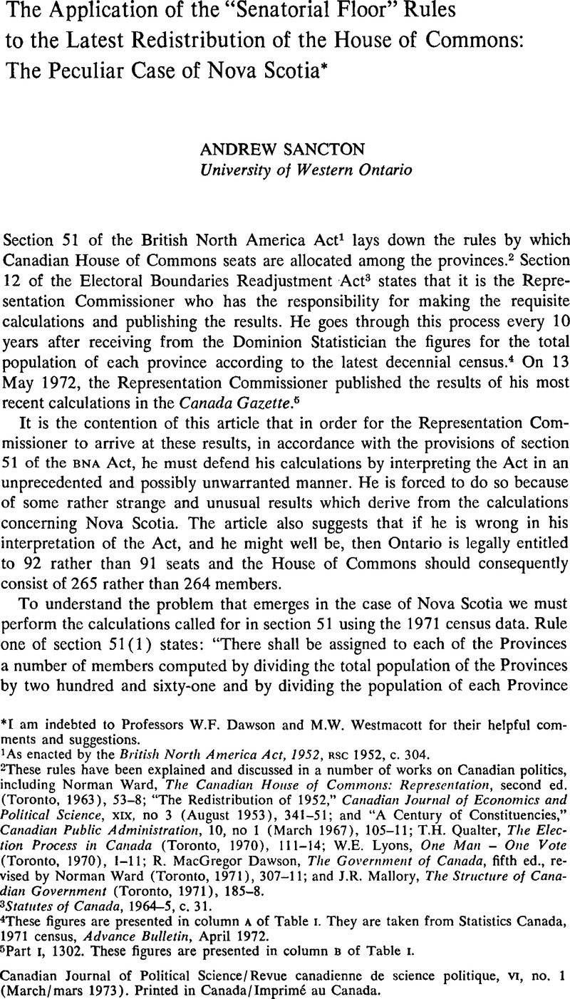
The Application of the “Senatorial Floor” Rules to the Latest Redistribution of the House of Commons: The Peculiar Case of Nova Scotia*
Published online by Cambridge University Press: 10 November 2009
Abstract

- Type
- Articles
- Information
- Canadian Journal of Political Science/Revue canadienne de science politique , Volume 6 , Issue 1 , March 1973 , pp. 56 - 64
- Copyright
- Copyright © Canadian Political Science Association (l'Association canadienne de science politique) and/et la Société québécoise de science politique 1973
References
1 As enacted by the British North America Act, 1952, RSC 1952, c. 304.
2 These rules have been explained and discussed in a number of works on Canadian politics, including Ward, Norman, The Canadian House of Commons: Representation, second ed. (Toronto, 1963), 53–8Google Scholar; “The Redistribution of 1952,” Canadian Journal of Economics and Political Science, XIX, no 3 (August 1953), 341–51; and “A Century of Constituencies,” Canadian Public Administration, 10, no 1 (March 1967), 105–11; Qualter, T.H., The Election Process in Canada (Toronto, 1970), 111–14Google Scholar; Lyons, W.E., One Man – One Vote (Toronto, 1970), 1–11Google Scholar; Dawson, R. MacGregor, The Government of Canada, fifth ed., revised by Ward, Norman (Toronto, 1971), 307–11Google Scholar; and Mallory, J.R., The Structure of Canadian Government (Toronto, 1971), 185–8.Google Scholar
3 Statutes of Canada, 1964–5, c. 31.
4 These figures are presented in column A of Table I. They are taken from Statistics Canada, 1971 census, Advance Bulletin, April 1972.
5 Part I, 1302. These figures are presented in column B of Table I.
6 A mimeographed copy of his calculations can be obtained from his office.
7 See columns H and I of Table I for these calculations.
8 As enacted by the British North America Act, 1915, c. 45 (UK).
9 From a letter to the author from Mr Nelson Castonguay dated 1 November 1972.
10 By the British North America Act, 1946, c. 63 (UK).
11 The Act is cited in the first footnote. It was the first time the BNA Act was amended by the Canadian Parliament. This was made possible by British North America (No 2) Act, 1949, c. 36 (UK).
12 Canada, House of Commons, Debates 1946Google Scholar, II, 1930–9, 2227–69; IV, 2404–15. 2420–41, 2460–79, 2591–2630, 2636–56, 2660–96; and Debates 1952, III, 3151–85.
13 Canada, House of Commons, Debates 1946Google Scholar, IV, 2694.
14 The maps showing the new constituency boundaries for Ontario were published in the 27 December 1972 issue of The Globe and Mail by the Federal Election Boundaries Commission for Ontario. These maps, naturally enough, were drawn on the assumption that Ontario was to have 91 seats. The implication of this article is that these maps are not legally defensible because they should have been based on Ontario's having 92 seats.
- 1
- Cited by


