
Book contents
- Frontmatter
- Contents
- List of Maps
- Preface
- List of Abbreviations
- Introduction: in search of Ireland's English Pale
- 1 The horizons of English rule: retreat and recovery
- 2 The fortifications and identity of a military frontier
- 3 County Dublin and the military frontier
- 4 Strengthening the march in County Kildare
- 5 The English Pale's westward expansion: County Meath
- 6 The English Pale's northern frontier: County Louth
- 7 Restoring the English Pale, 1534-41
- 8 The waning of the English Pale
- Conclusion: an English region in Tudor Ireland
- Bibliography
- Index
- Irish Historical Monographs previous volumes
2 - The fortifications and identity of a military frontier
Published online by Cambridge University Press: 09 January 2024

- Frontmatter
- Contents
- List of Maps
- Preface
- List of Abbreviations
- Introduction: in search of Ireland's English Pale
- 1 The horizons of English rule: retreat and recovery
- 2 The fortifications and identity of a military frontier
- 3 County Dublin and the military frontier
- 4 Strengthening the march in County Kildare
- 5 The English Pale's westward expansion: County Meath
- 6 The English Pale's northern frontier: County Louth
- 7 Restoring the English Pale, 1534-41
- 8 The waning of the English Pale
- Conclusion: an English region in Tudor Ireland
- Bibliography
- Index
- Irish Historical Monographs previous volumes
Summary
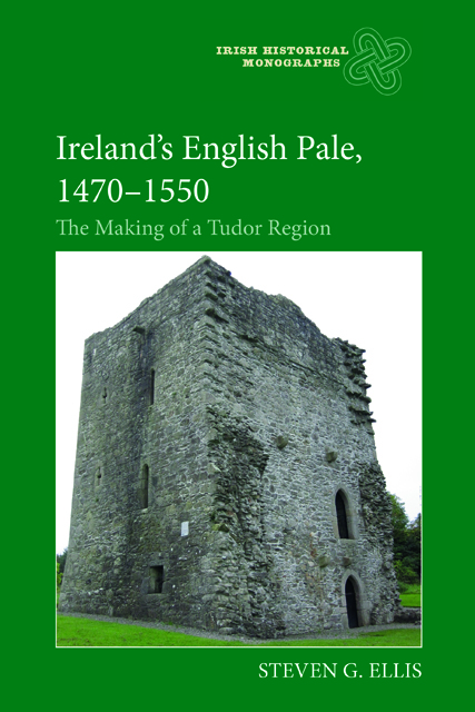
The most visible feature of the English Pale was its impact on the landscape, the earthworks and fortifications of its standing defences built up in the later fifteenth century. These were particularly prominent south of Dublin close to the topographical transition between the arable lowlands of the coastal plain and the upland districts adjoining the Leinster mountains. Earlier the region had been divided more vaguely into ‘the land of peace’ inhabited by English subjects and ‘a land of war’ where lurked the wild Irish, with a series of disputed and shifting marchlands and stretches of uninhabited waste in between, making its defence more difficult to organize. English subjects dwelling in the marches here were often castigated as ‘degenerate’ and described as ‘English rebels’ because of their collaboration with Irish enemies and their adaptation of Irish law and custom. By the early fifteenth century, however, the decline in government control over outlying parts meant that this ‘land of peace’ was increasingly identified with the districts around Dublin known as ‘the four obedient shires’ which were vaguely divided in 1428 into ‘the land of peace, called Maghery’, and the marches. The consolidation of this division in the later fifteenth century promoted an increasingly visible boundary in terms of land use between an area of cereal production, the maghery, and the pastoralism of the marches. It also reflected the Dublin government’s focus on the defence of the south Dublin marches, and the sharper topographical division here between arable lowlands and pastoral uplands. Thus, as later chapters suggest, south of Dublin the lengthy earthworks closely supported by strategically positioned fortalices and towers which constituted the early Tudor military frontier and its standing defences hereabouts were much more imposing and carefully planned than the occasional ditches and towers scattered across the flat expanse of the western marches.
Encouraged by the Dublin government, the local gentry began to build small tower houses to augment the chain of major castles constructed after the conquest. The marches were also strengthened by erecting a system of dykes and ditches. An act of 1430 offered the gentry a subsidy of £10 for each castle and tower, sufficiently embattled and fortified, built for defence against enemies and rebels.
- Type
- Chapter
- Information
- Ireland's English Pale, 1470-1550The Making of a Tudor Region, pp. 39 - 58Publisher: Boydell & BrewerPrint publication year: 2021